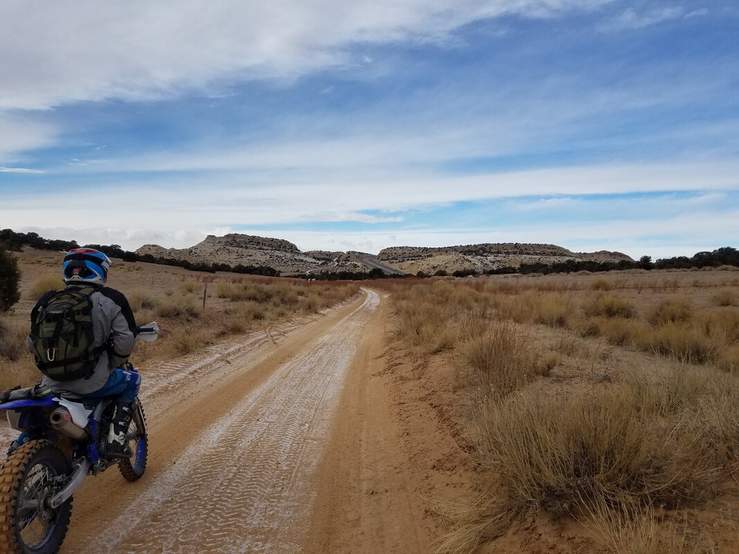
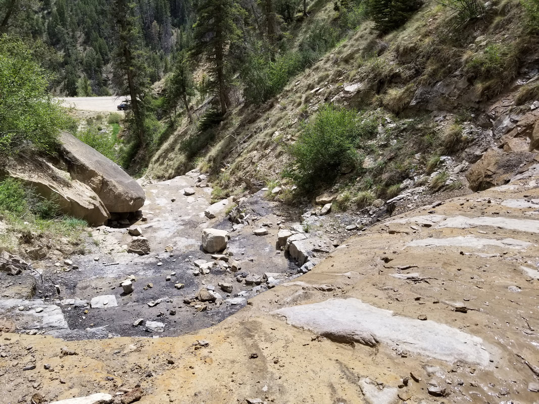
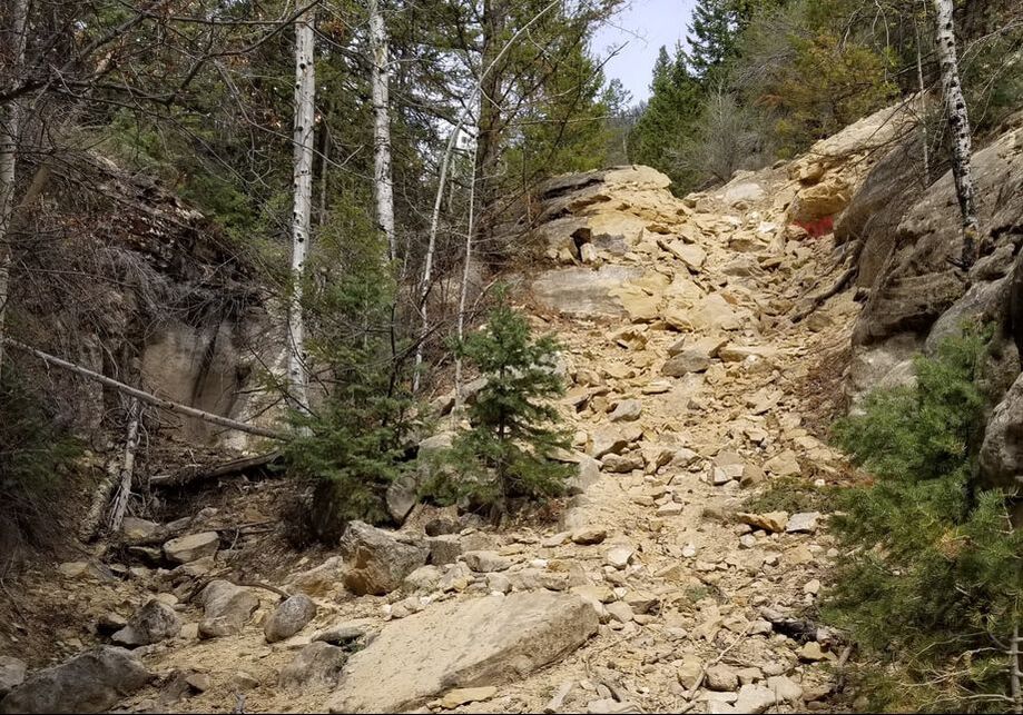
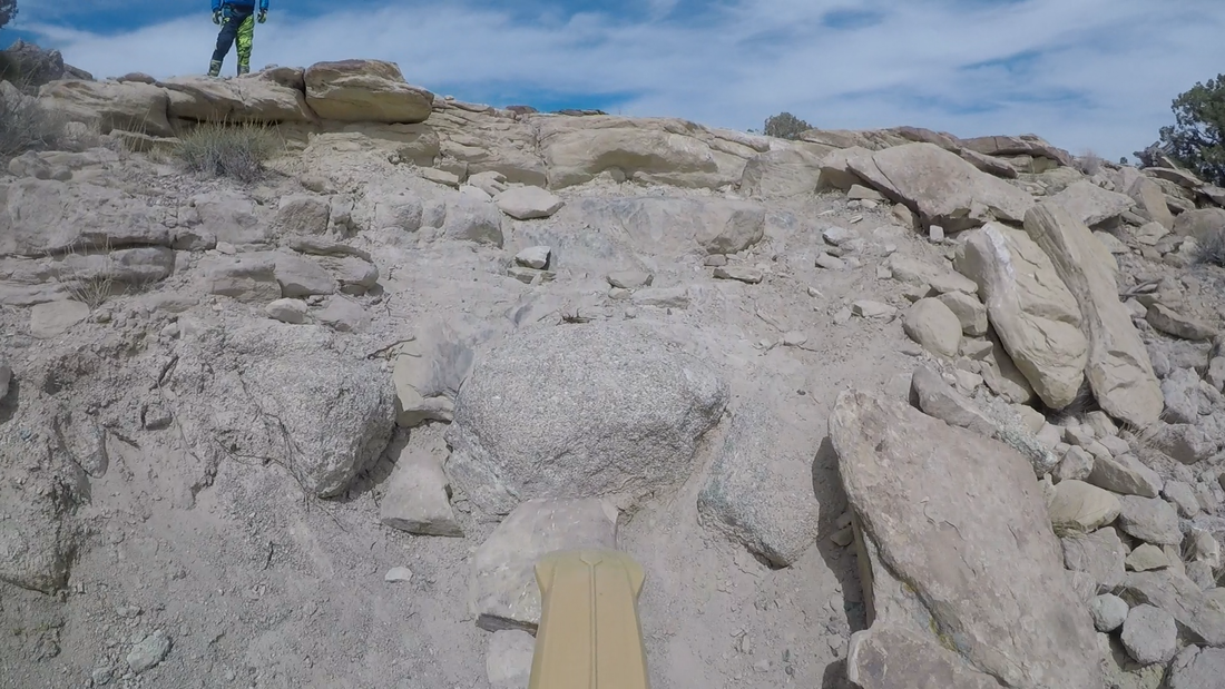
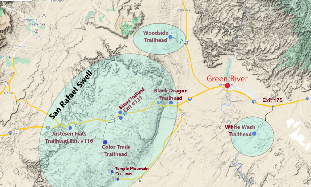
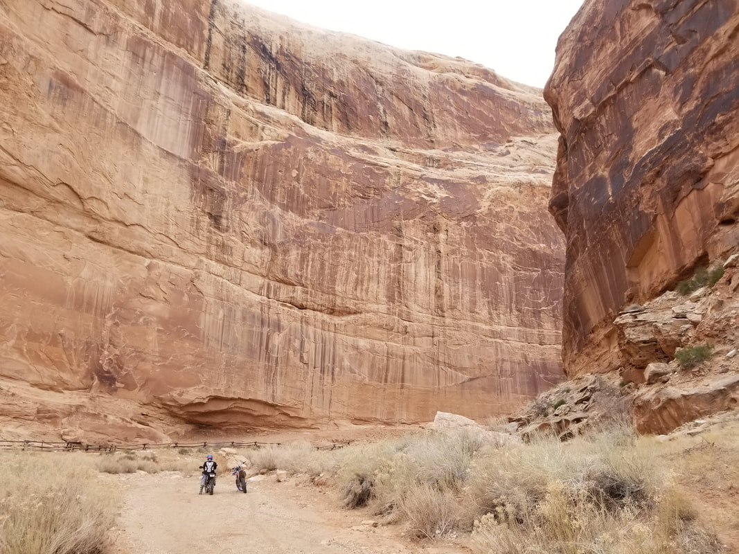
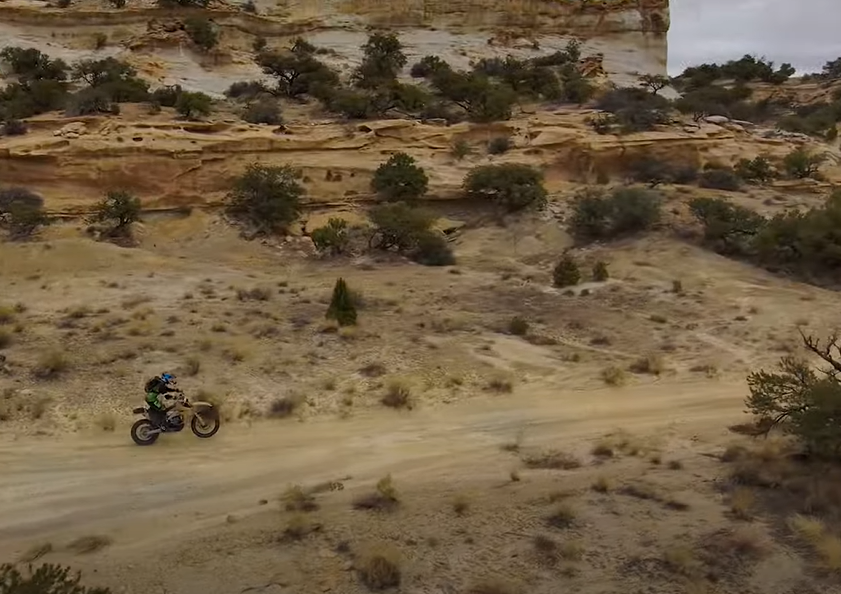
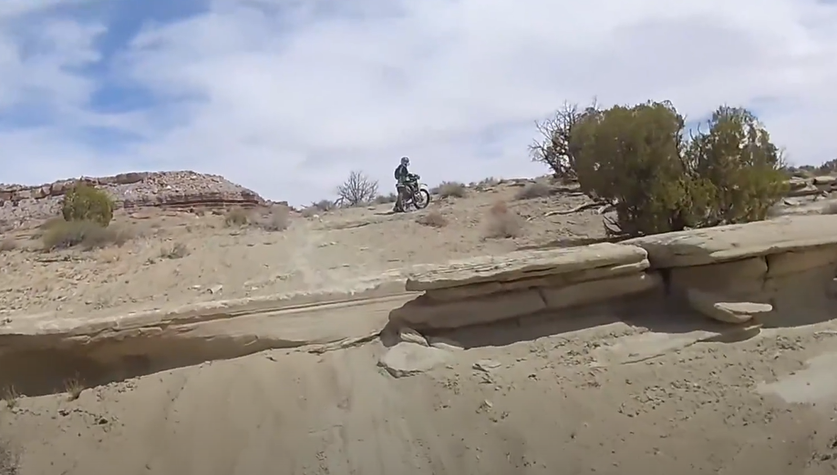
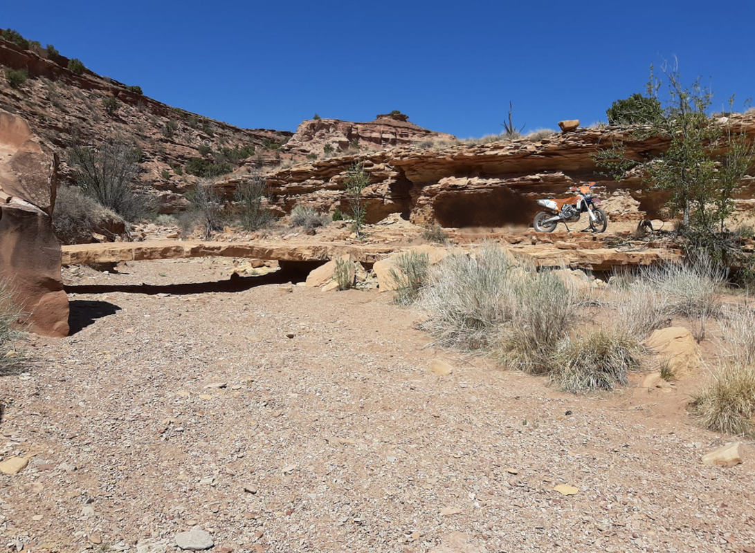
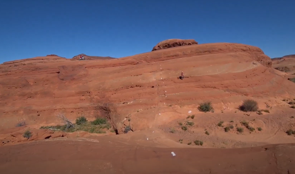
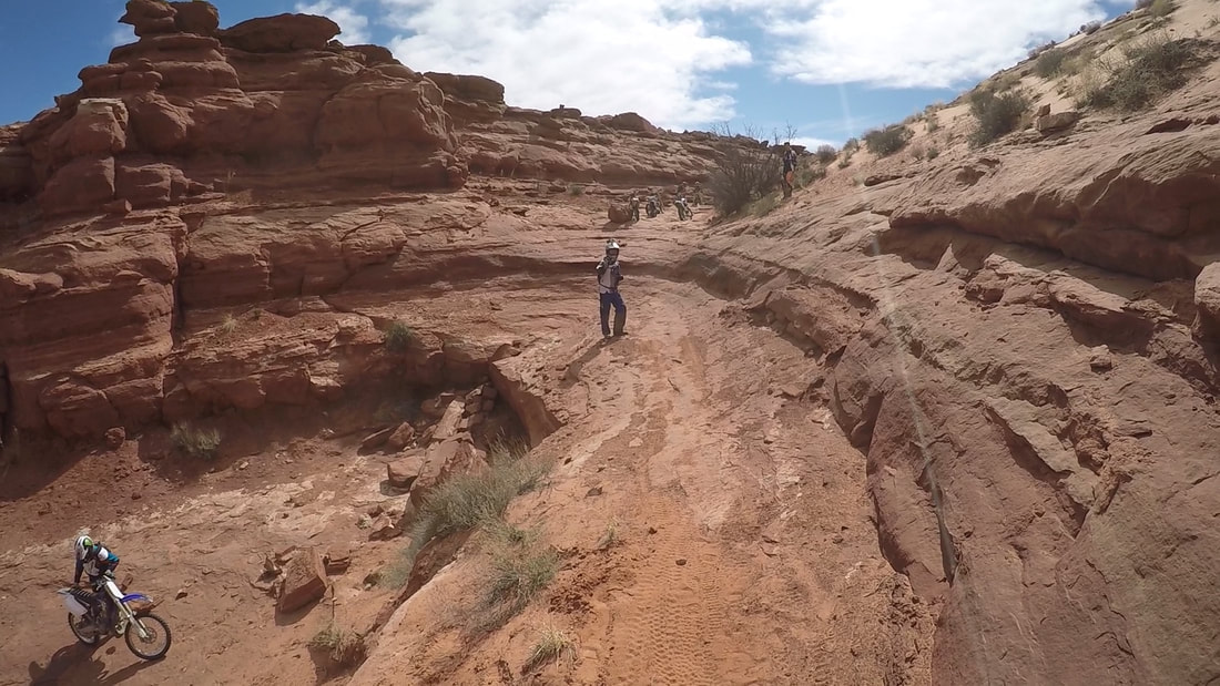
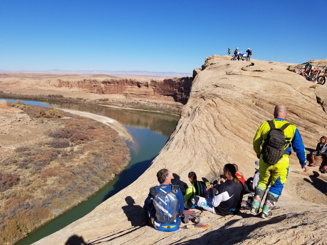
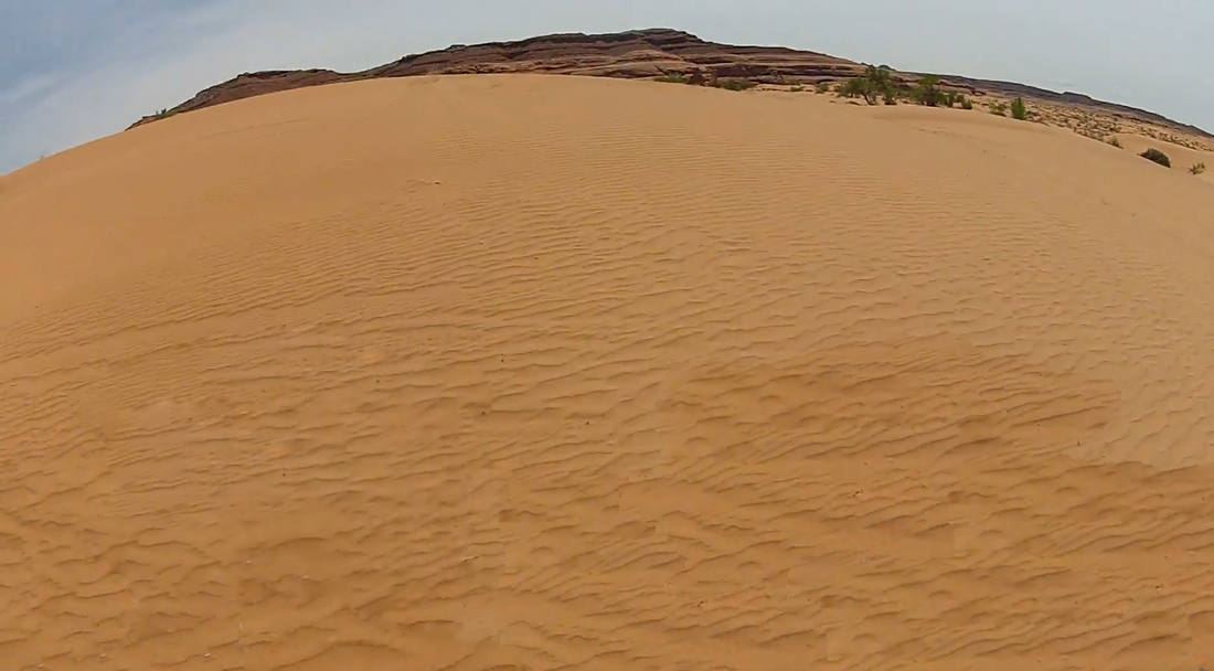
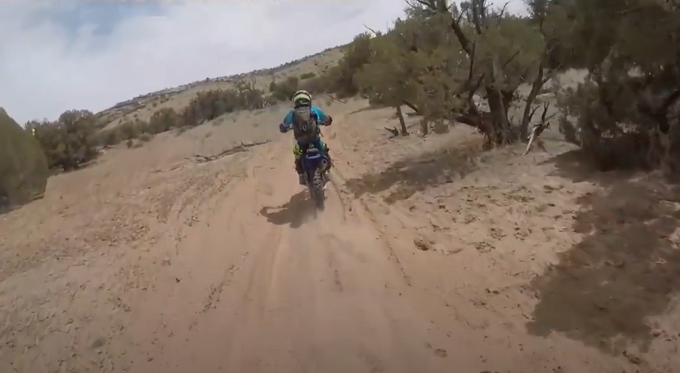
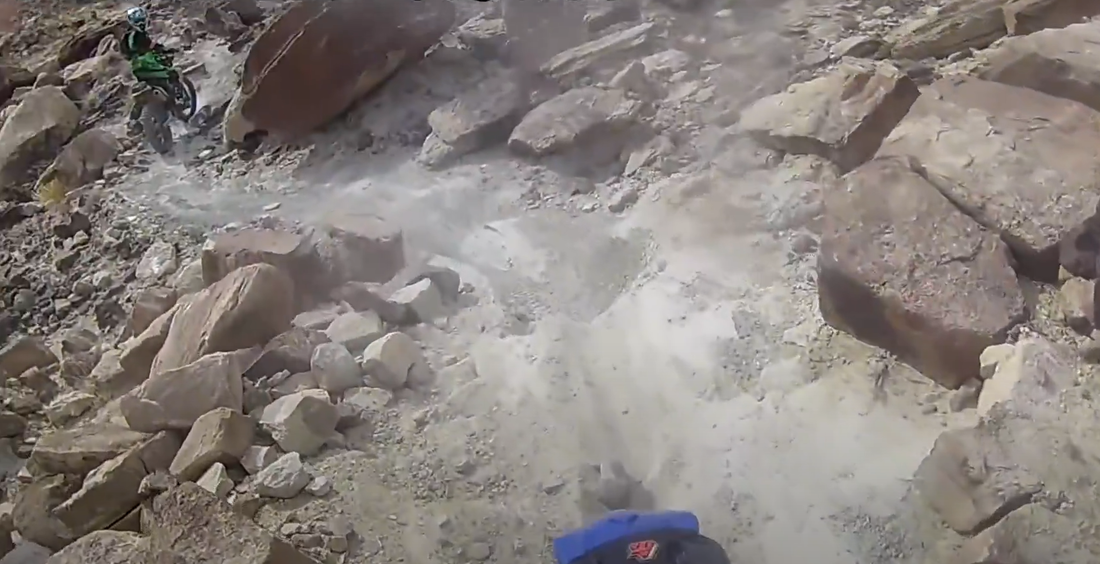
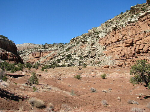
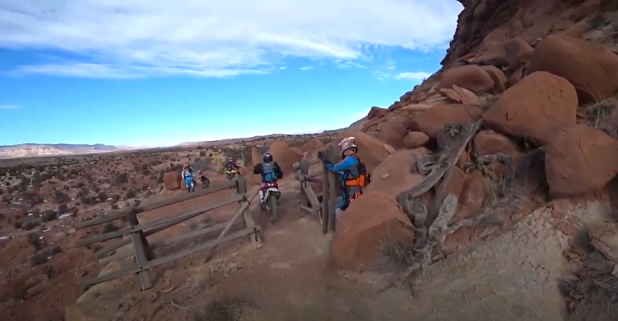
DIRT BIKE RALLY
  • Home
  • The Trails
  • Sign Up
  • Liability Waiver
  • Sponsors
  • Vendors
  • Contact
  • Photo & Video Gallery

The Trails

We have worked very closely with the Bureau of Land Management to provide detailed maps of a variety of trails spanning every skill level. Below are some of the highlights from each area. All riders who register for the rally will be sent a GPS map containing all of the trails along with their skill ratings. Riders may only ride on designated trails on the maps during the rally. PLEASE NOTE THAT SOME TRAILS ARE OPEN TO THE PUBLIC BUT THEY ARE NOT OPEN TO RALLY PARTICIPANTS. 

Skill Ratings

Picture

Beginner

​These are you basic trails that range from maintained dirt roads to mostly smooth trails  with some climbs, rough patches, and shallow sand. Many obstacles and rocks are avoidable, but you may encounter shelves, rocks, and ledges up to 8 inches in height. Riders who want to increase their skills can practice on the optional intermediate obstacles found throughout these trails. As with all of our tours, the ride is half the experience, the breathtaking sights is the other. ​
Picture

Intermediate

 Rocky trails with shelves up to 16 inches in height, tight turns, steep/loose hill climbs, deep sand, and stretches containing multiple obstacles linked together. All intermediate trails contain mostly easy riding with occasional obstacles, many of which can be avoided. The trail speed of intermediate tours is significantly faster than beginner tours.
Picture

Advanced

Sections of very rough ground with shelves up to 24 inches in height, multiple difficult obstacles linked together, very long and steep rocky/loose hills. Advanced tours often ride on intermediate level trails but at a much faster pace and thus travel many more miles than intermediate tours. Electric- start motorcycles are recommended on advanced trails.  ​
Picture

Expert

Very few trails earn this rating from us. Notably the world famous 5 Miles of Hell among a handful of others. Expect extreme obstacles more than 24 inches in height, near-vertical climbs, multiple advanced obstacles linked together, steep hills containing advanced obstacles. These trails are only for the very best riders. If you are unsure if you can handle these trails please do not attempt them. Electric- start motorcycles are highly recommended on expert trails.

Trailhead Map

There are no services at any of the freeway exits or trailheads on I-70 so be sure to get plenty of water and snacks while you are in Green River. There are several rest stops along I-70 with restrooms but none of them connect to any trails. 
Picture

San Rafael Swell - North

There are three ways to access the northern San Rafael Swell. Justesen Flats can be reached by taking Exit #116 and traveling south. At Exit #131 there is parking on both the north and south side of I-70 on the Temple Mountain Road. BLACK DRAGON WASH TRAILHEAD NOTICE: There is no regular freeway exit to this trailhead and the pullout is easily missed. To access the trailhead, travel on west bound I-70 and immediately after mile post #147 the is a pull off that leads to Black Dragon Wash. After pulling off the freeway, enter the gate to find several parking areas. Please close the gate behind you. If you miss the pullout, the next opportunity to turn around is 20 miles down the freeway.
Picture

The Devil's Racetrack 
Intermediate / advanced

Devil's Racetrack is a classic ride in the north end of the San Rafael Swell. It is rated as an intermediate of the trail with the exception of The Devil's Backbone and The Staircase lo located in the heart of the trail. Both of these are advanced obstacles that cannot be bypassed. Because they are relatively short, intermediate riders can usually be helped up them without much trouble.  One advantage of this trail is that it is wide and varied enough that intermediate, advanced, and expert riders can all take different lines and have an amazing experience. Devil's Racetrack ends at Coal Wash and  can connect with either Eva Conover or Fixit Pass to make a great loop. 4-6 Hours to complete, bring lots of water!

Picture

The Wikiup / Cane Wash
Beginner

The Wickiup is a multicolored monolith in the middle of the San Rafael Swell. It is just north of the Temple Mountain Road Exit #131. There is a beginner level trail that circles the Wickiup and connects to Cane Wash on its north end. This whole area is full of trails for the beginning dirt bike riders who want to see some beautiful desert landscapes without having to traverse difficult obstacles. 
Picture

Eva Conover
Intermediate

Eva Conover is always a fun, challenging ride for an intermediate rider, with many opportunities to "take the hard line" for the advanced riders. We consider this trail Devil's Racetrack's little brother. The trail is straight north of Justensen flats and ties into Coal Wash.  This trail can be ridden out and back or as a loop with either Fixit Pass or the Devils Race Track. Expect 2-3 hours out and back, or 4-6 hours if you do the loop. Bring water and your camera as there are many great panorama locations. 
Picture

Copper Globe
Beginner/Intermediate

Copper Globe is a fun ride with a neat history. Beginners will enjoy the mostly dirt road and light sand out to the copper mine, while intermediate riders will enjoy a more challenging route when you get past the mine out near Links Flat and the Red Canyon overlooks. To get to the overlooks you'll encounter shelves and step ups that need some throttle and clutch control to get up. Nothing scary, but worth the view when you get there. Park at Justesen Flats, go east, then follow the road south into Devil's Canyon. Take the dirt road to the south up the hill onto the flat. Make sure to watch for wild horses before the Copper Globe turnoff. There is a sign there telling you when to turn.
Picture

Black Dragon Wash
Beginner

Black Dragon Wash Trail is located near Green River and offers scenic views of a deep sandstone canyon. The Black Dragon Panel found near the eastern end of the canyon is a fantastically strange piece of Native American rock art that seems to depict a large flying creature and hundreds of painted dots.
BLACK DRAGON WASH TRAILHEAD NOTICE
There is no regular freeway exit to this trailhead and the pullout is easily missed. To access the trailhead, travel on west bound I-70 and immediately after mile post #147 the is a pull off that leads to Black Dragon Wash. After pulling off the freeway, enter the gate to find several parking areas. Please close the gate behind you. If you miss the pullout, the next opportunity to turn around is 20 miles down the freeway.


Picture


Fixit Pass / Coal Wash
Intermediate

Fixit Pass is a fun intermediate trail that includes many ups and downs and turns on the trail with great views of the desert. Coal Wash has sandy sections with berms built up from UTVs, but can be easily traversed for the beginner rider. Make sure not to miss Swasey's Arch, also known as Slipper Arch, on the east side of the trail. This trail can be turned into a loop with Eva Conover or Devil's Racetrack. 3-6 hours depending on the route you choose.

San Rafael Swell - South

The southern half of the San Rafael Swell can be reached from two directions. To enter from the north, take Exit #131 on Interstate 70 and traveling south on the Temple Mountain Road. The color trails trailhead is about 8.5 miles south of the freeway exit. The other option is to enter from Highway 24 using the temple mountain road. The first of two parking areas is just west beyond the Goblin Valley turnoff. The second parking area is two miles farther down the road on the far side of the San Rafael Reef.
Picture

Five Miles of Hell
Expert

By far, this is the toughest dirt bike trail you'll come across in The Swell. "5 Miles" is a lie. It's more like 8. The entire loop runs somewhere around 20. There are a few escape routes if you get tired or wreck your dirt bike on the trail. Imagine every challenging obstacle you have ever ridden your dirt bike on or over. Put those obstacles back to back, over and over for about 8 miles and call it "5 Miles of Hell."
Picture

Color Trails
Intermediate / Advanced

The San Rafael Swell trails offer unbelievable scenery, technical obstacles, fast washes and a great variety of terrain. The Orange, Red, Green and Blue Trails are each single track and located on the southern half of the Swell. Both the Blue and Green Trails are rated as intermediate. They have few obstacles but lots of whoops . The southern half of the Orange Trail is rated as an upper intermediate trail. The northern half of the Orange Trail and the Red Trail are both rated as upper advanced. Each contain many difficult obstacles. We recommend avoiding the Red and Orange trails unless you are comfortable with wheeling up tall ledges. For those intermediate riders who want to try a couple advanced obstacles, we recommend staying away from the Red and Oranges trails and trying the Devils Racetrack instead. 
Picture

Waterfall Trail
​Intermediate 
​

This is a great single track trail that is at the southern end of the Swell. With lots of ups and downs, it winds in and around several different washes. Its northern end is on the Temple Mountain Road and its southern end connects to the Behind the Reef Road. At only about 13 miles, many riders may want to do a loop with the Waterfall trail and some of the Color Trails. 


White Wash Recreation Area

White Wash is reached by taking the Floy Exit #175 on I-70 and traveling 12 miles to the south on the main road. Follow the White Wash Recreation Area signs to a large parking area overlooking the sand dunes. 
Picture

Mary's Trail
Advanced

Mary's Trail is a favorite of anyone who rides it. Slickrock for almost the whole trail. Amazing views and amazing terrain to ride on. Some of the climbs and descents on this trail require commitment. Make sure your brakes work, and you're up to the task!
Picture

Brian's Trail
Advanced

Brian's Trail can be found on the north end of the White Wash Recreation area. The first half of the trail starts in a canyon with a very sandy bottom with a technical slickrock climb at the end. The second half of the trail is entirely on slickrock and meets up with the middle of Mary's trail. 
Picture

Green River Overlook
Intermediate

The Overlook is an amazing place to have lunch and enjoy the scenery of the 500-foot drop to the Green River. The 'Tubes' are not open to rally riders, so the overlook must be accessed from the BLM 377 trail, which leads southwest from the cattle guard above Red's Canyon.
Picture

White Wash Sand Dunes
Intermediate

The White Wash Recreation Area contains hundreds of acres of open-riding sand dunes intermixed with some slickrock. RIDERS MUST HAVE A FLAG TO RIDE ON THE DUNES! Brian's Trail and Mary's Trail lead away from the dunes on the north and south ends respectively. 

Woodside / Chimney Rock

On Highway 6 (also 191), there are two roads on the west side of north of Mile Post #284. Take the northern of the two roads and follow a zig zap for 3 miles to reach the Woodside staging area. 
Picture

Planet Trails
​Intermediate

The ten Planet Trails each run roughly east and west between the highway and cedar Mountain. They are named from north to south starting with the Sun Trail and Ending with Pluto (Yeah - we are still holding onto that one) The main graveled road is labeled the Earth Trail and it cuts across the bottom third of the riding area. In general the planet trails are easier than the trails running north and south. Each trail can be ridden on its own or used as a way to get from one of the more difficult trails to another.
Picture

Odds Trail
Expert

Odds Trail is like riding on another planet. The white, chalky dirt is always fun to weave your way through while tackling the difficult and consistent climbs and descents. Bring your A game and lots of water to conquer this. Make sure you find the mailbox and take a picture with it. 
Picture

Chimney Rock / Humbug Canyon
Intermediate

This trail travels around the base of Cedar Mountain and up into Humbug Canyon. It has a great view of Chimney Rock and some wonderful intermediate level riding throughout. We recommend doing a loop around the north end via The Door Trail. 
Picture

Stones Trail
Advanced

The Stones Trail single track never disappoints. A couple highlights are the Red Hill, and the Gate . The Red Hill is is a long, steep climb that will make you work your clutch and see if your rear tire still has enough lugs to get traction. The Gate is found on a part of the trail that has a vertical drop on one side and a vertical rise on the other. An old wooden pole gate keeps the cows in and lets the dirt bikes through. This trail connects to the Earth Trail (road) on the north and to Lost Spring Wash on the southeast side.

Robin Hunt

435-820-0592
​[email protected] 

home

The Trails

Sign up

Schedule

Sponsors

Contact

City of Green River Copyright © 2025
  • Home
  • The Trails
  • Sign Up
  • Liability Waiver
  • Sponsors
  • Vendors
  • Contact
  • Photo & Video Gallery